
Why Kent maps (and friars) are exciting
It was exciting this week to see the advert for the Canterbury Medieval Weekend in the monthly History Extra magazine. Thanks too for publicity through the Kent Archaeological Society and for other avenues, all greatly appreciated.
As we near the end of the first month in 2026, I would also like to flag up two of the several history events in February before coming to the main part of this second blog for January, the second monthly meeting of the reconstituted Kent History Postgraduates group that comprised Jason’s presentation.
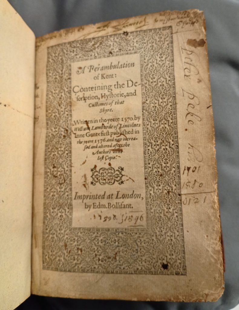
The first of two these events is the local history study day entitled ‘Exploring Kent’s History: documents, maps and other sources’ that will take place on Saturday 14 February, 10.30am to 4.30pm in the Templeman Library, University of Kent. The day is being organised and led by Kent staff (Karen Brayshaw, David Rundle and me), with MEMS postgraduates and alumni (Avril Leach, Jason Mazzocchi and Jacqueline Spencer). Ticket sales have been good, but there are still a few places available. This is an exciting new venture for Kent MEMS in collaboration with CAMEMS and the day will encompass a series of presentations and workshops drawing heavily on materials held within Special Collections at Kent. We will investigate the writing of histories about the county through time, early modern maps and mapping of Kent, and textual sources through the eyes of antiquarians. We hope to attract people who are interested in researching Kent’s history and who would like to explore ideas and approaches concerning how they might do this using different types of sources. If you are interested in attending, please email Jason at [email protected] with the subject ‘Exploring Kent’s History’ to register interest and for further details. Once you have registered interest, tickets will be available to purchase through CAMEMS: Student £10 for the day, CAMEMS Friend £20 and others £25. Tea and coffee will be provided, but please bring your own lunch or you can use one of the catering outlets on campus. Free parking is available on the university’s campus. Like the Canterbury Medieval Weekend 2026, any income after costs will go towards CAMEMS bursaries for postgraduates studying at MEMS.
Then the following week there will be an evening of talks centred on Canterbury’s Blackfriars, one of the city’s three major friaries (the fourth, the Friars of the Sack only survived in Canterbury for a very short time). The evening is entitled ‘Canterbury’s ‘Blackfriars’ through the Ages’ and even more exciting the event on Thursday 19 February will take place in one of the two surviving Blackfriars buildings, the Dominican Guest House (Beerling Hall), off St Peter’s Lane. As an important part of Canterbury’s medieval and early modern townscape, the three talks comprise my exploration of the friary, looking especially at the support the friars received in the later Middle Ages. The second talk will be given by Professor Jackie Eales on secular uses of the Blackfriars after the Reformation and Clive Bowley will investigate the topography of the Blackfriars in the post-Dissolution era.
Please note, doors will open at 6.30pm for a 7pm start. Tickets cost £10 per person (to include a glass of wine) and booking is advised (but pay at the door) For booking, please contact Alan Robertson on 07798 645141 or email [email protected]

Now to the Kent History Postgraduates group and Jason Mazzocchi’s presentation today (Wednesday) on the three Faversham oyster maps, two of which can be seen at the Faversham Charters exhibition at the Tourist Information Centre at the Market Place in the town centre. Research into these maps as part of the late Elizabethan/early Jacobean local dispute over the oyster grounds between Faversham and Milton is part of one of his case studies for his doctorate and, moreover, Jason will be giving a presentation on these maps to Faversham History Society in the town in June. Consequently, he was keen to try out some of his ideas about the production and consumption (audiences) of these maps to see what others thought because although the doctoral students are working on different Kent topics, there are overlapping themes and approaches.
Now because this is part of Jason’s ongoing research and he will be at Faversham in June, for now I’m just going to mention a couple of the points he explored. Firstly, the idea of visual communication through mapping, especially at a time when surveying was in its infancy and these mapmakers were busy exploring how to use this visual language in the form of lines, shapes, colouring, shading, composition, light and textures to convey vital information about the landscape, or in this case the water channels and estuarine composition of the Swale in terms of ownership, stewardship and usage. Furthermore, there would seem to be a degree of time depth – looking backwards through memory and the history of the snout weirs, but equally forwards for the future in terms of the oyster dispute’s resolution and what this will mean for later generations of Faversham (and Milton) oystermen.
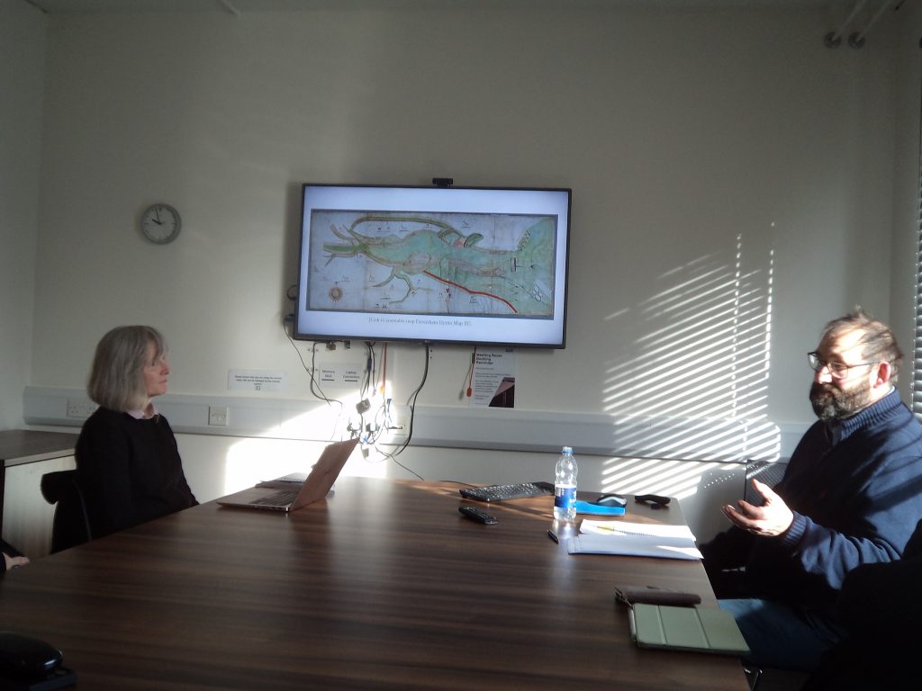
The second point I want to flag up here is his discussion of the beacons shown on the maps, including that not all three beacons are shown on all three maps, and that the Harty beacon is represented differently compared to the Beacon of the Wreck and the beacon shown just above Oare church. Indeed, these different representations of the beacons sparked a considerable discussion during the Q&A session, Peter Joyce drawing attention to the map of Kent beacons which Lambarde had composed and included in his Perambulations as part of his discussion about the defences of Kent as a ‘gateway county’ at a way when the Crown was fearful of the threat on foreign invasion. Furthermore, such a system of coastal beacons as a defensive measure had a long history, being part of the responsibilities of the local civic authorities as representatives of central government. Such a dialogue between locality and central authority is similarly pertinent to the oyster maps, the third map having seen sent to the Exchequer as a consequence of the Faversham – Milton dispute.
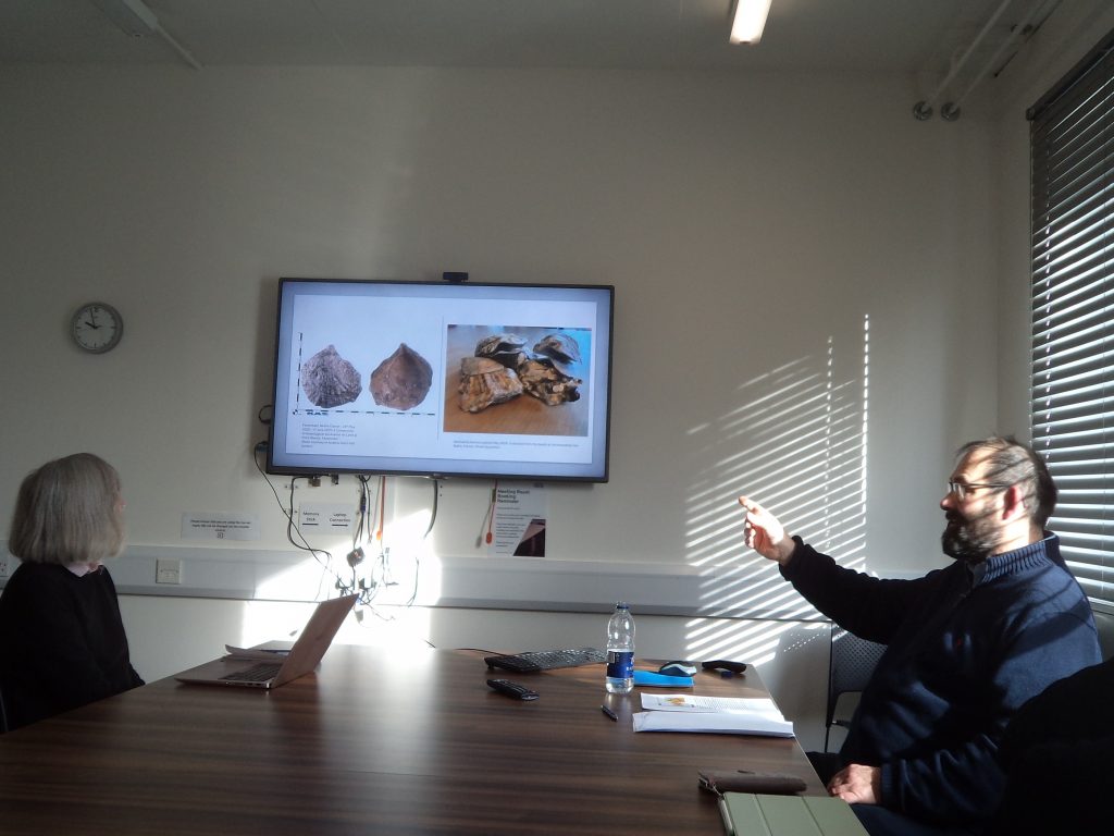
As I hope you can tell from these two examples, Jason’s presentation raised a wide range of fascinating points which provoked a whole series of questions and comments that continued over coffee afterwards. Moreover, people said they would be emailing him in the next few days with additional queries and thoughts, and hopefully he will get a similar response in June. If this sounds interesting, please do think about going to hear Jason in Faversham.
Categories
academic Blog Posts Canterbury Early Modern Events Kent Lecture News TudorsHome